Adventures around Traverse City

Category: Trails (Page 2 of 4)

Snowshoeing the Pierce Stocking Scenic Drive

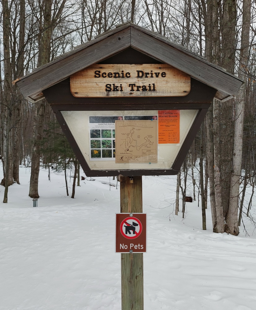
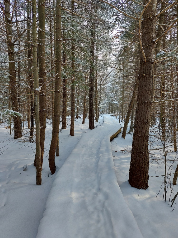
The Pierce Stocking Scenic Drive brings hundreds of thousands of visitors during the warmer months, but is silent during the winter ones. Though it may be closed to road traffic when the snow flies, it stays open to foot traffic, whether those feet are on skis, snowshoes or in your plain old boots.

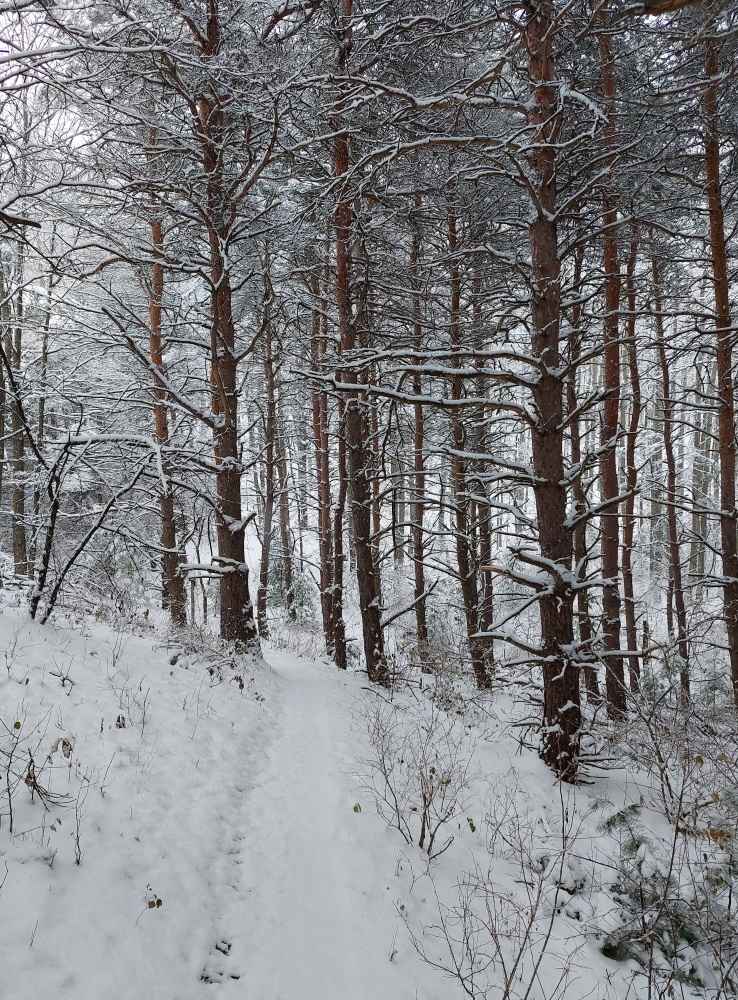
When pulling into the drive, the main gate is closed, but to the right is a parking area where the trailhead for your Sleeping Bear winter adventure begins.

Sign

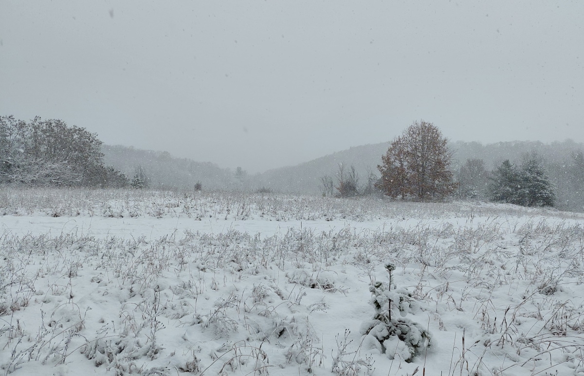
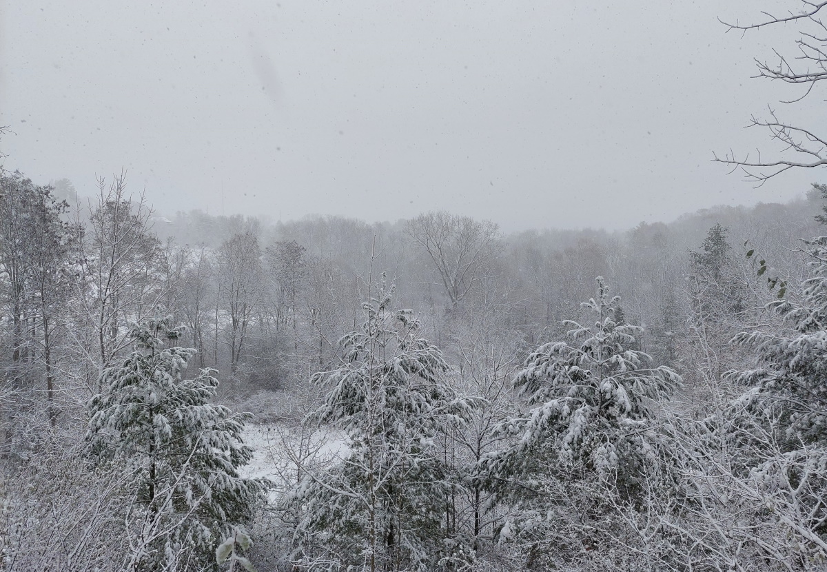
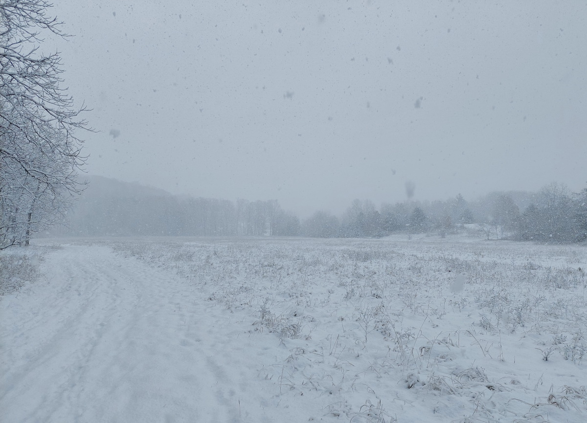
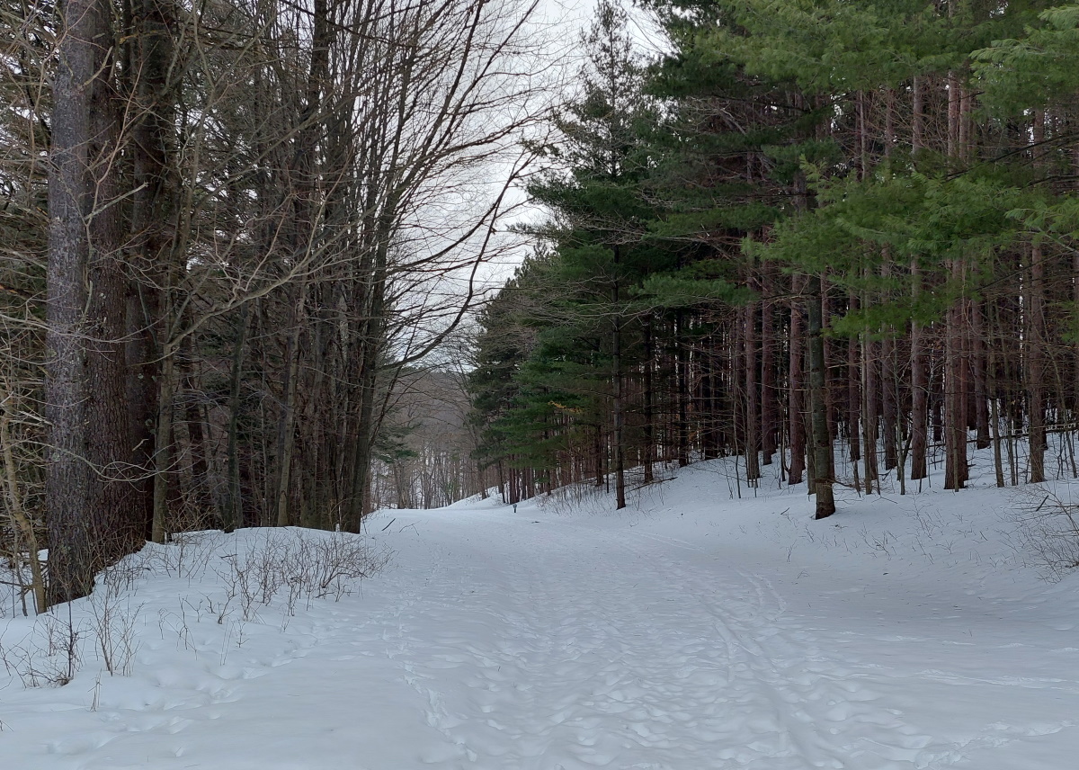
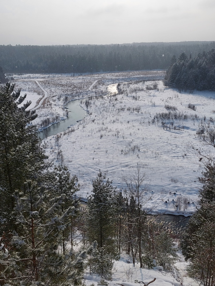
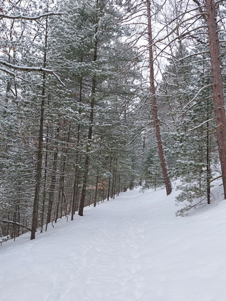
You have options, but for me, the only goal was to reach the Lake Michigan lookout. And that required going up. A lot. On my visit, I had the entire park to myself. Though I dressed warmly, you don’t need to go overboard. That uphill hiking is really going to work up a sweat and warm up your body. The whole road was mine, and I followed the snowshoers who had visited before me and broken a path. Thank you for making my trip easier.

Pierce Stocking Scenic Drive

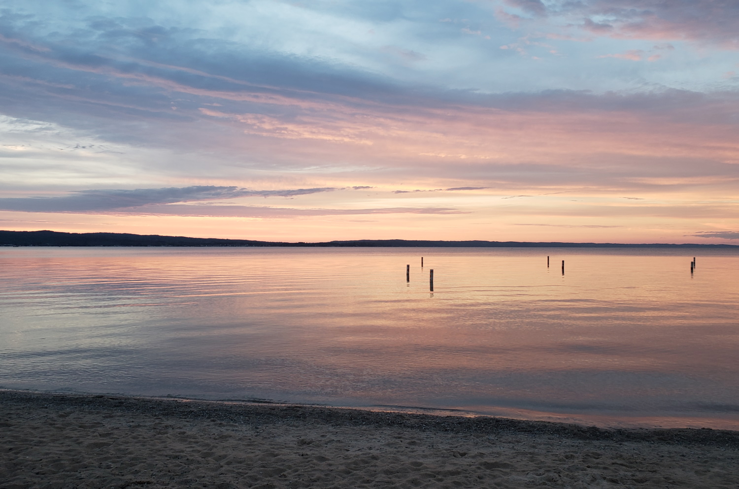
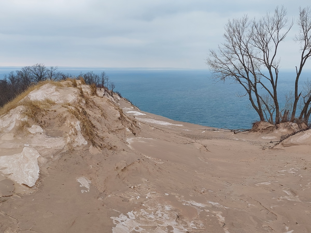
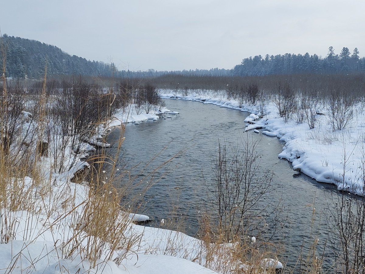
After a difficult climb (this was my first snowshoe trip of the year), I reached the scenic overlook. I had visited this spot with friends in the summer when the dunes were swarming with visitors and parking spots were hard to find. No such problems this time. I had the incredible views all to myself.

Sleeping Bear Dunes
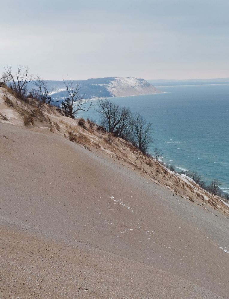
I enjoyed the scenery, but not as long as I would have liked. The winds from the lake were brutal, and that body warmth I generated on the way up was quickly sapped away.

Lake Michigan
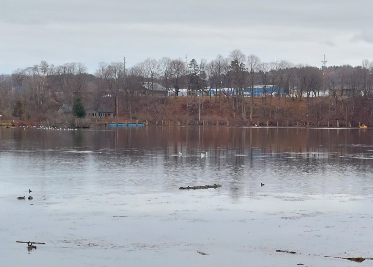
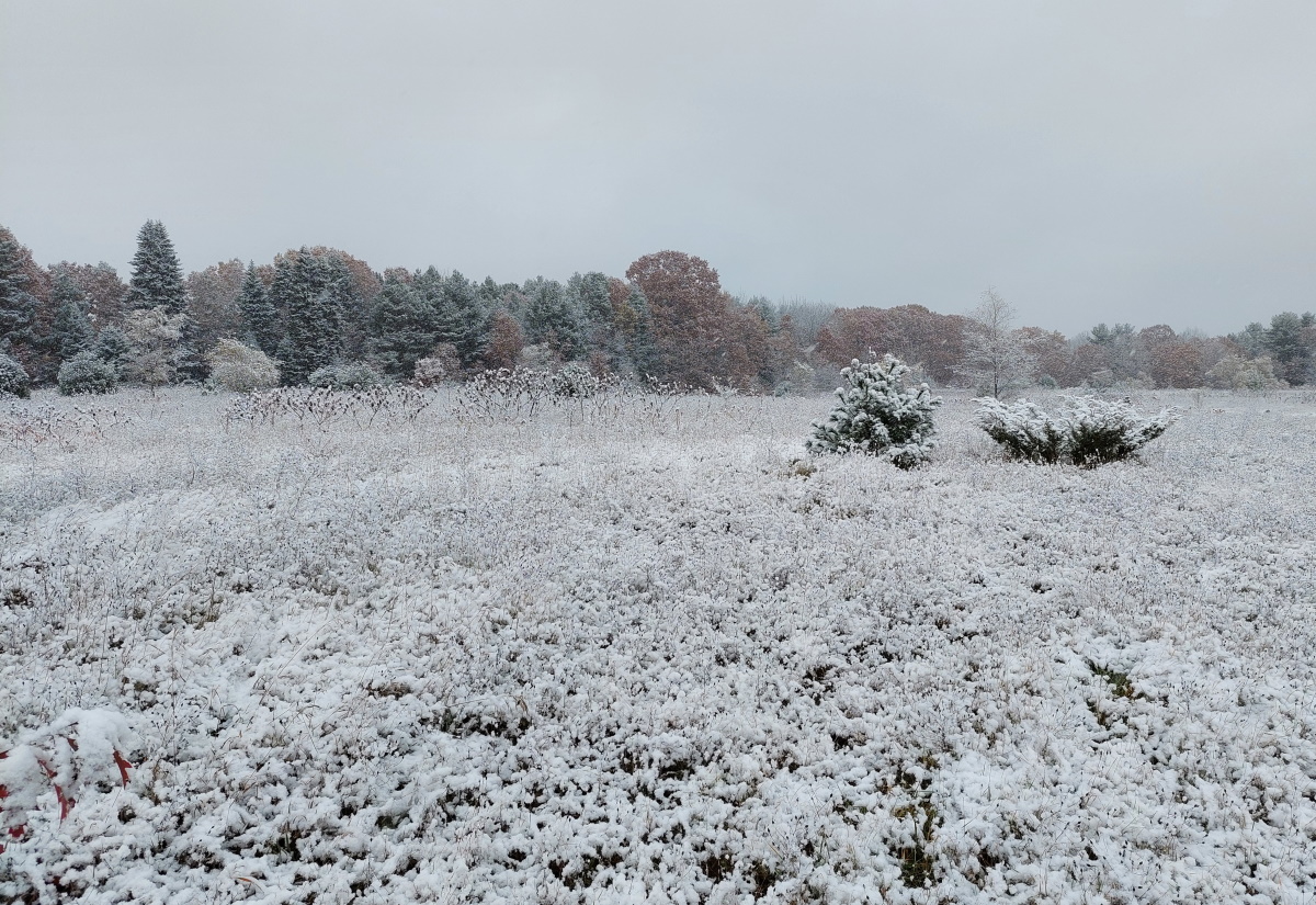
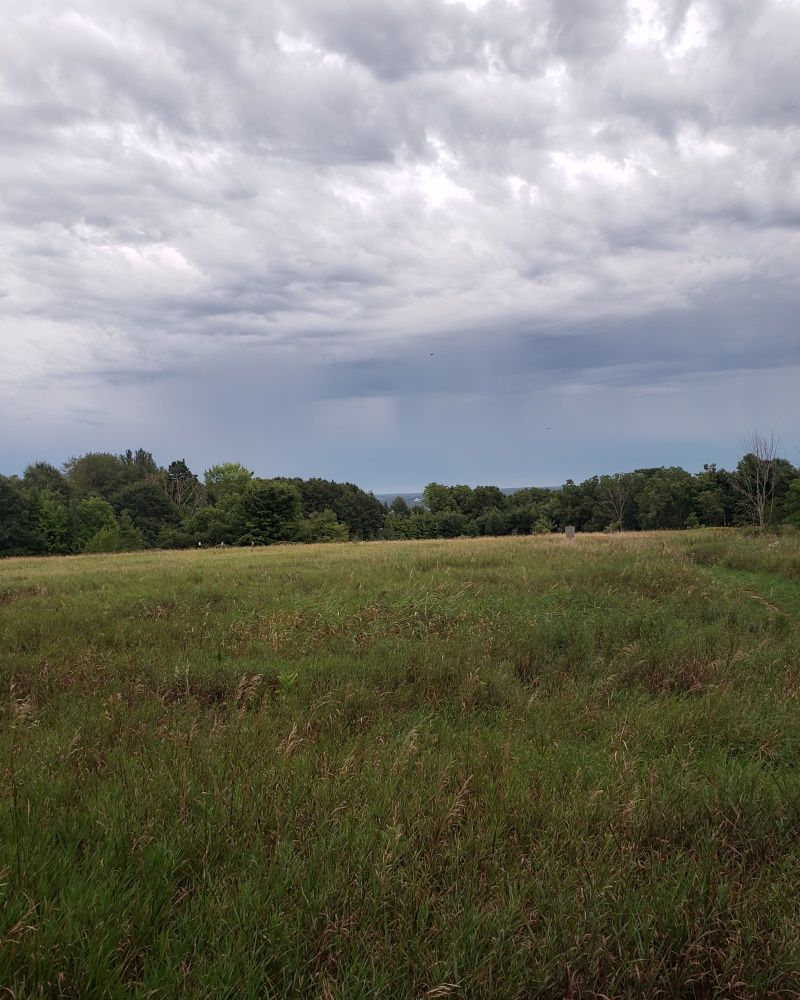
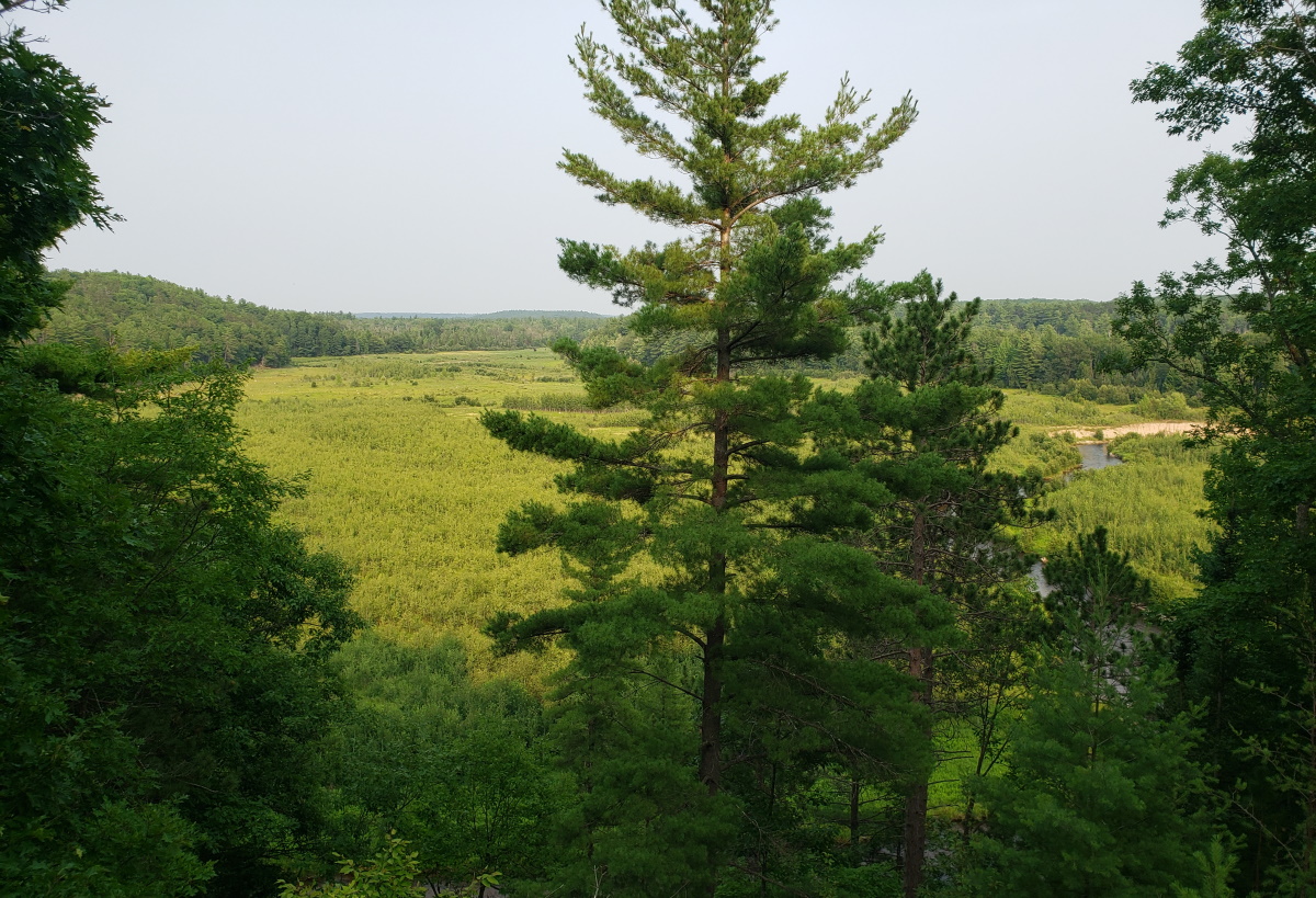
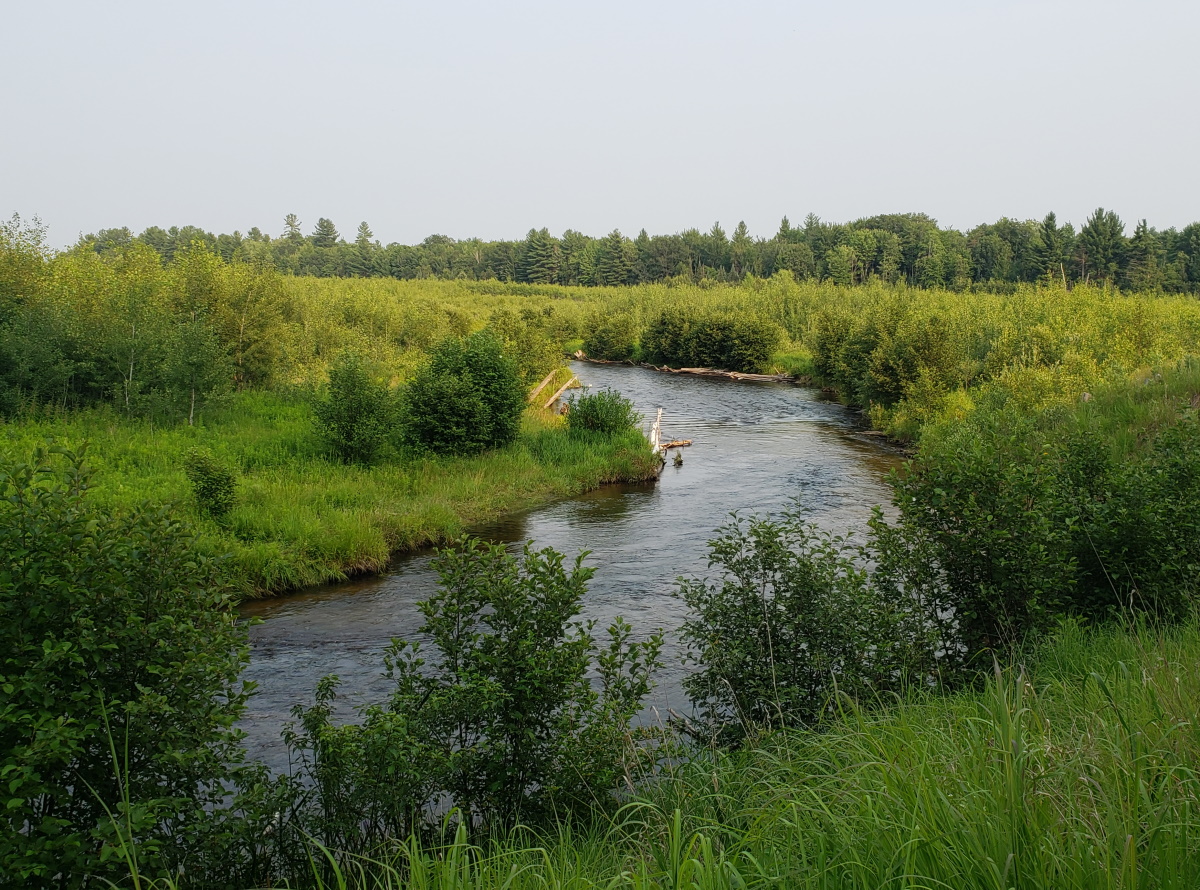
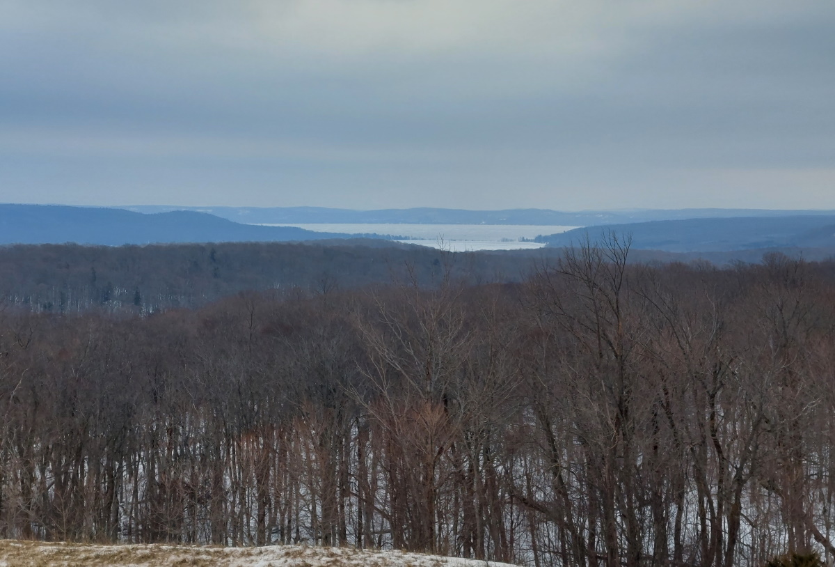
I climbed just a bit higher and turned inland to get a look at Big Glen Lake and Little Glen Lake.

Glen Lake
Snowshoeing the Pierce Stocking drive is well-worth the effort. Amazing views and excellent workout in a beautiful part of the state make this a trip well-worth your time.

A winter day at Brown Bridge

Brown Bridge is never a bad choice when you are in the mood for some outdoors time. The views from the trails near the Ranch Rudolf parking areas are some of the best in the Traverse City region. If you can’t make it in fall, winter, is not bad either.

Brown Bridge Quiet Area

Unless it’s just after a fresh snow, you don’t need snowshoes. They don’t hurt, but there is enough traffic to pack down the path so we booted hikers can get along just fine.

The path leading into the narrower, road-less-traveled eastern part of the trail.

Winter woods

The Boardman winds its way through the valley. This area was once flooded by an artificial lake created by the construction of the Brown Bridge Dam in 1921. It provided hydroelectric power until 2006, and the dam itself was removed in 2012.

Boardman River in winter

Trail Wrap-Up 2021

Happy New Year! I hope 2022 will be a great year for you. Here is my tip to you – watch less news and you’ll be a happier person.

At the end of 2020, the year I moved up north, I had a list of my favorite trails around Traverse City. This year, I’m doing something a little different – I’m listing the five most visited trails in the area. This is heavily skewed to trails in town or on the West Bay because that’s the area where I live. While I wouldn’t rank some of these as the best trails, they are the ones I frequent the most. Let’s start the countdown.

#5 DeYoung Natural Area

On Cherry Bend Road is the small but lovely DeYoung Natural Area. The 1.5 mile trails on the west side of 633 wind through the old farmstead of the DeYoung family. It is mostly a field trails with a smidgeon of woods thrown in for good measure, and a stream run along the southern section of the trail. This has been my go-to trail when I need a trail break on my lunch hour.

DeYoung Natural Area

#4 Hickory Meadows

Nestled between M-72 and Randolph Street is Hickory Meadows. A bit larger than DeYoung, it is correspondingly more busy. The main trails is a wide path through a meadow, and though you aren’t required to visit with an dog, it feels like this is the rule. The southern half of the trail is mostly fields while the northern part is mostly forested hills. You can even spot the West Bay and Old Mission from one of the trail high points.

Hickory Meadows


#3 Boardman River Trail

One of my favorite trails from my inaugural year in Traverse City has remained on the list of most-visited trails. You really can’t go wrong with this one. Starting at the YMCA parking lot on South Airport, if you were to follow it to the end, you could walk all the way to Beitner Road, with views of the Boardman River all along the way. Fantastic scenery of the river valley abound.

Boardman River Trail

Boardman River Trail


#2 Boardman Lake Trail

This trail brings me home with fond memories of our first few months living in TC on Eighth Street. The trails almost encircles the Boardman Lake, but by the summer, that “almost” will become a “does” with the completion of the trail behind NMC on Cass and at Logan’s Landing at Medalie Park. Plenty of places to park to get access to the trail.

Boardman Lake Trail


#1 Leelanau Trail

This trail will be my most visited trail every year. Living less than a mile away, in every season it’s the most convenient place for my walking needs. It is also the best place in the area for a bike ride, of which I do a lot during the summer. Though the area close to town are quite busy, the farther north you get, the less traffic you encounter. The pavement is pristine which makes a road cyclist like me very happy. Because it was once a railroad track, the inclines are very manageable even for less experienced cyclists.

Leelanau Trail

Boardman Lake Trail Extension

The Boardman Lake Trail (BLT) is one of my favorite trails in the Traverse City area. Because we spent many months living on Eighth Street while we waited for our house to be completed, the proximity to the trail allowed me to walk it twice a day (my morning and evening walks), and often went for an afternoon jog.

However, the BLT doesn’t encircle the lake. Before this year, it make a big U-ish shape, ending at Fifteenth Street on the west side of the lake and Medalie Park on the south side.  By the way, Medalie Park is a decent little park, and the best way to access the southern area of the BLT, the least utilized section of the trail.

Medalie Park

That incompleteness is about to change. Earlier this year, the trail was extended from Fifteenth Street to the NMC University Center on Cass. As I write, crews are working on the boardwalk that will cross the water and connect the NMC area to Logan’s Landing. (Well, OK, as I write this it is Sunday and we are in the middle of a snowstorm, so hopefully the workers are enjoying a warm day at home).

Boardman Lake Trail
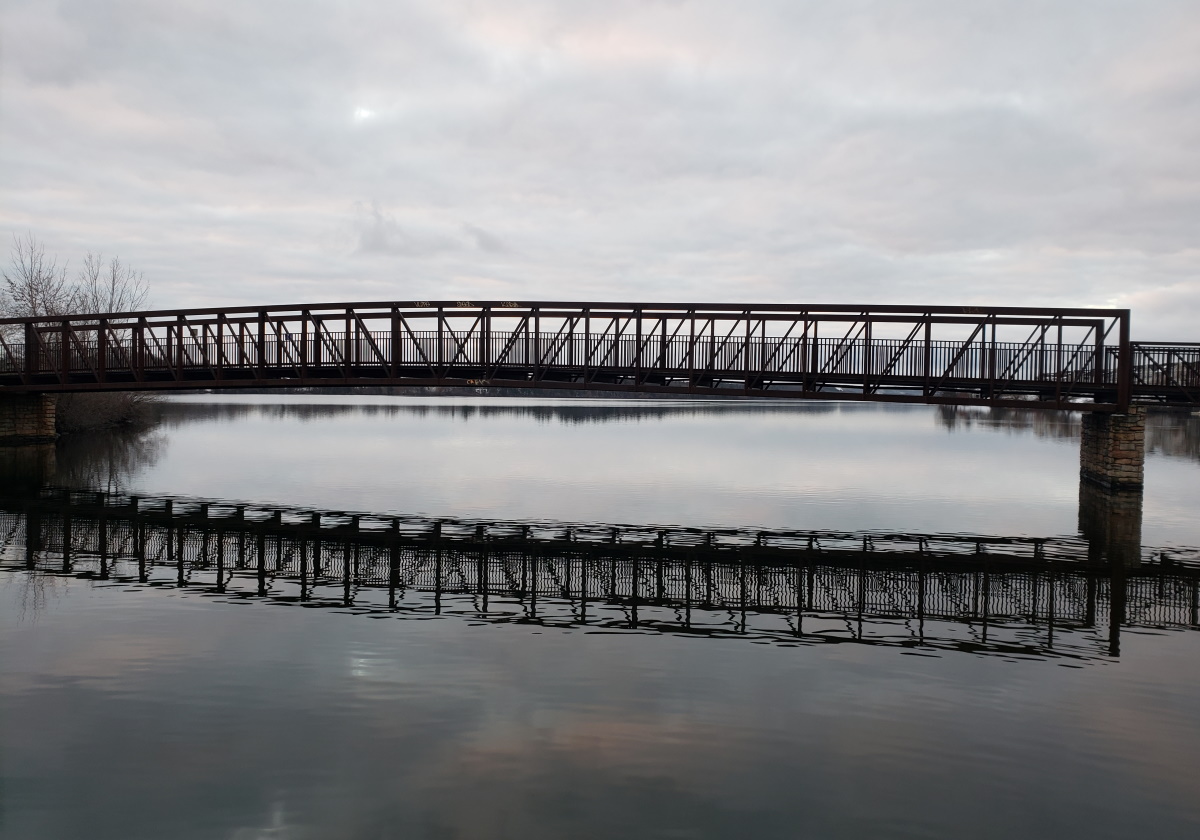
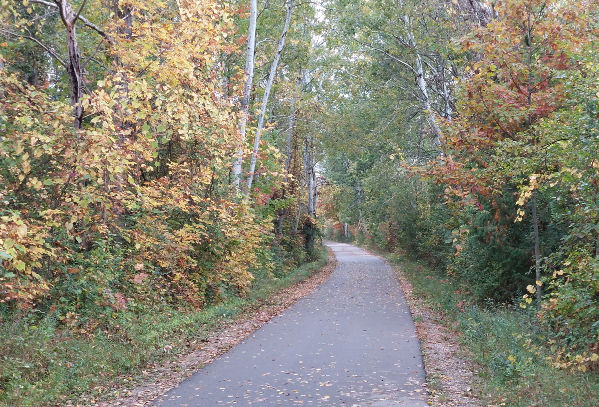
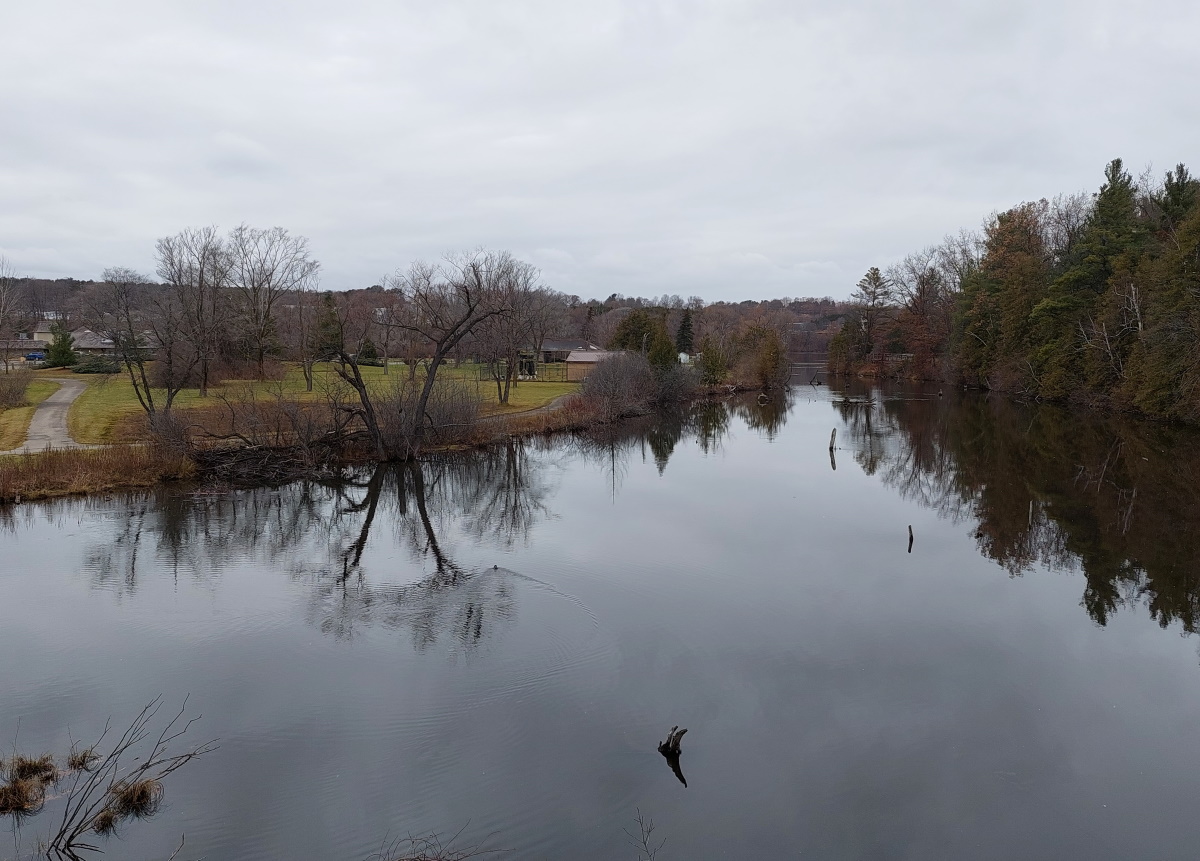
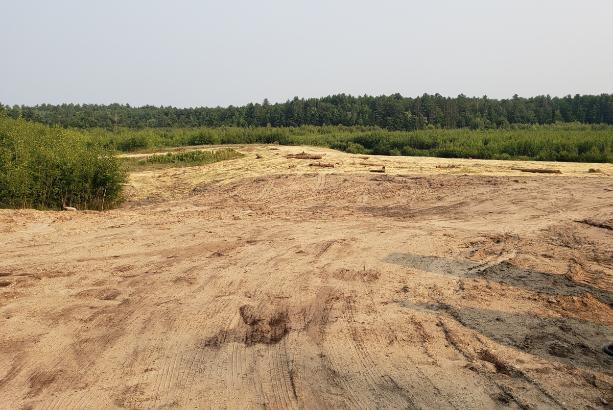
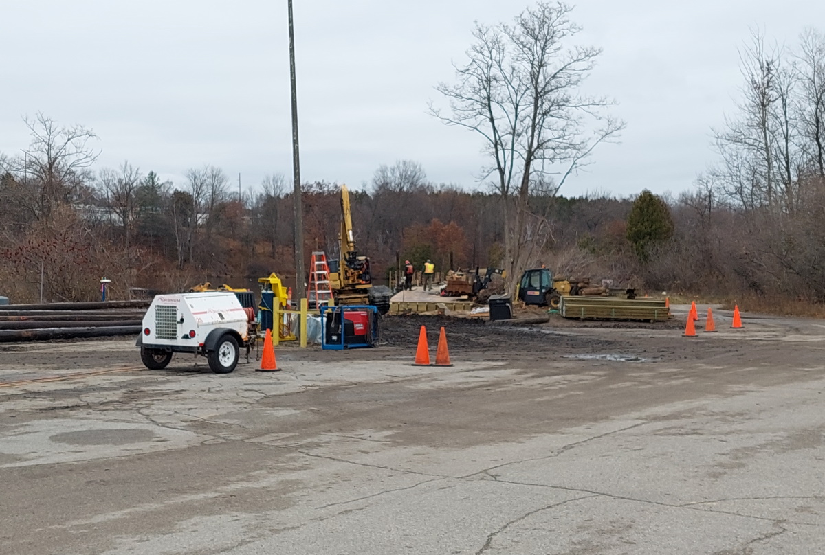
It is exciting to see the trail getting closer to completion – spring 2022 is the target time frame, and you can follow along at the TART site. I will be exiting my winter running hiatus early to be in shape for an around-the-lake jog when it does open.

Bonus shot – you can see the pylons extending the trail on the west side of the Boardman.

Trail work on the Boardman

Hickory Meadows in the snow

The Swedish have a saying – “There is no such thing as bad weather, only bad clothes”.  I am in full agreement with that frame of mind when you live in northern Michigan. So with that, I headed the short distance to Hickory Meadows. Not many comments, just a few pictures from a snowy November day.

Hickory Meadows, Traverse City

A few days ago, I was in this same spot and could see the West Bay and Old Mission Peninsula.

Hickory Meadows, Traverse City


Hickory Meadows, Traverse City

Hickory Meadows, Traverse City

Pelizzari – Hiking during hunting season

If you are looking for a safe hiking spot during hunting season, Pelizzari is a good spot, and easy to reach from downtown Traverse City. Located at the base of Old Mission, it’s probably not far from where you are staying, and hunting isn’t allowed, which isn’t the case at most trails in around the TC area. 

Pelizzari - Old Mission trail

It is also a great trail to visit when the snow is flying and you don’t want to travel too far for trail time. Only a few miles on Center Road, it will not take the plow trucks too long to reach it.

Pelizzari - Old Mission trail

While short – only about a mile in length – Pelizzari does have multiple loops. Mainly a field walk, there are also stands of deciduous trees as well as red pines.

Pelizzari - Old Mission trail

Fall has arrived in Traverse City


We are still having nice weather up here in northwest Michigan, but the signs of changing times are here. Though we are not in the full-blown color mode yet, we are only a week or two out, so plan your trip.

Boardman River

The Sabin Dam area is beautiful anytime of year. You can find it at the Grand Traverse Nature Area on Cass Road, a bit south of Harmen Road.


Where Cass turns east and crosses the Boardman, the Boardman River Trail continues to follow the river in land that was once underwater until the Sabin Dam was taken down in 2018.

Pelizzari, clouds and all

Pelizzari is not normally my spot when I want a quiet walk. It’s a nice enough spot, but for the most part, when I hike, I do it to be alone. (Nothing personal.) Located as the base of the Old Mission Peninsula, there are usually a few cars in the parking lot. But I took a chance on a late summer evening after a storm. And it was a win! The trails were clear and I had the all the trails to myself. Just me and the owl. Despite a less-than-ideal evening, it was still a pleasant walk, because life is too short to wait for nice weather.

Pelizzari

In the forest and fields, not a soul to be seen – my kind of hike. And in the distance is the East Bay.

Pelizzari fields

On the way downtown for a beer (OK, two) at Fresh Coast Beer Works, I stopped at Bryant Park for a view of the sunset over Leelanau. Though there was no sun to be seen, the colors were still amazing.

Bryant Park sunset

Adventures at Pentwater Pathways

The woods are alive with the sound of chipmunks.

Yes, the woods of the Pentwater Pathways trails are alive with the sounds of chipmunks. And birds. And, unfortunately, mosquitos, but hiking in the woods of northern Michigan is rarely free of those. Despite a bug or a thousand, the pathways are a great place for walk in the woods. With almost eight miles of trails, you can spend some quality time with the wildlife I just mentioned.

First, I used Google Maps and it told me to Ridge Road to North 48th Avenue to Wolf Road, and I was coming from the south. Ignore Google in this instance. I found the best route, coming from either Pentwater or Silver Lake, is to take Jackson Road straight east to the parking area. Simple, and the road was in better condition than the others.

At the parking are Jackson and Railroad Avenue there is a lovely little wooden sign greeting you. You’re view will probably be different because my car will not be there.

Pentwater Pathways sign

What the parking area is lacking is a map. Once on the trail and you reach the first intersection you will see numbered posts with maps so there is no danger of getting lost, but a map at the beginning would have been helpful. (German word of the day: hilfreich – helpful)

My favorite section is the closest to the trailhead, the green loop. The path leads between ferns and groves of young poplars.  This section was mosquito-free for me.

Pentwater Pathways

Things got a bit hillier after the mostly-flat green loop. The trails are marked for mountain biking, and the red loop is marked as the most difficult. It will take a little endurance to get up the hills on this loop. I had hoped, since there were some elevation gains, that there would be views of the water, but it was not to be. Again, the bug population here was minimal.

Pentwater Pathways trail

What goes up (and down and up) must come down again. After the hills, the yellow loop was a the lowest of the loops I walked. This section was NOT mosquito-free. Scenic, yes, but be on the lookout for the blood-sucking mini-monsters.

Pentwater Pathways trail

Pentwater Pathways is the best trail near Pentwater. Honestly, you don’t have a lot of choices, but it is a nice trail – I visited twice on our weeklong visit to the area. Definitely worth a trip toe the Pathway if you are hiker.

Brown Bridge, Summer Edition

I’ve been lax in my hiking this summer. It’s not for lack of trying, but an overabundance of two things:

  1. Travel. We’ve spent many weekends away in such exotic locations as Northport (boating with friends), Port Huron (so close you can see Canada… and get roaming charges from Canadian cell towers), more boating, and Mackinac Island.
  2. New home stuff. While the interior is pretty well set, the ~$30,000 estimates we had for the mulch, trees, retaining walls, etc. that we wanted meant that we would be doing the work ourselves. The work is starting to wrap up for this year – there is only so much money we have to spend, even if it is far less than the estimates.

I had a free evening while Andrea played volleyball, and I headed south to Brown Bridge, my as-of-now favorite trail in the Traverse City region. The views are amazing, especially in the fall. But even in summer, they are some of the best around.

Brown Bridge views

If there were one spot I would take guests that wanted trails, it would be here. Great views, but a trail wide enough for several people to walk side-by-side. You’ve got trees, fields and a winding river that makes for a pleasant walk. Getting back up from the bluff can wear you out, but it’s worth the huffing and puffing.

Boardman River Valley

Right now there is streambank restoration work, but it doesn’t affect the trail, so carry on as normal. Though this area was underwater for many years due to the dams on the Boardman, there isn’t much evidence left of that time.

Bit of dirt

« Older posts Newer posts »

© 2024 Up North Scott

Theme by Anders NorenUp ↑