It’s best to sing that line to the tune of “The Boys are Back in Town” by Thin Lizzy.
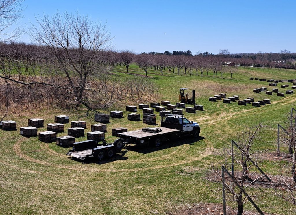
Yes, the bees are back in Leelanau County, back from Florida or whatever warm weather land they had wintered at. These particular bees are at an orchard just north of Shady Lane.
The bee people were kind enough to put signs about the bees just before reaching the area. I made sure to keep my mouth closed as I zoomed through the area. A stung tongue sounds like quite a pain.
I hope you all had a happy New Year’s Eve and Day. At the Stoecker house, we started our year with bubbly wine from Bel Lago and many, many snacks along with sushi from Fuji.
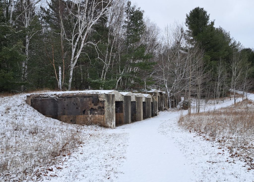
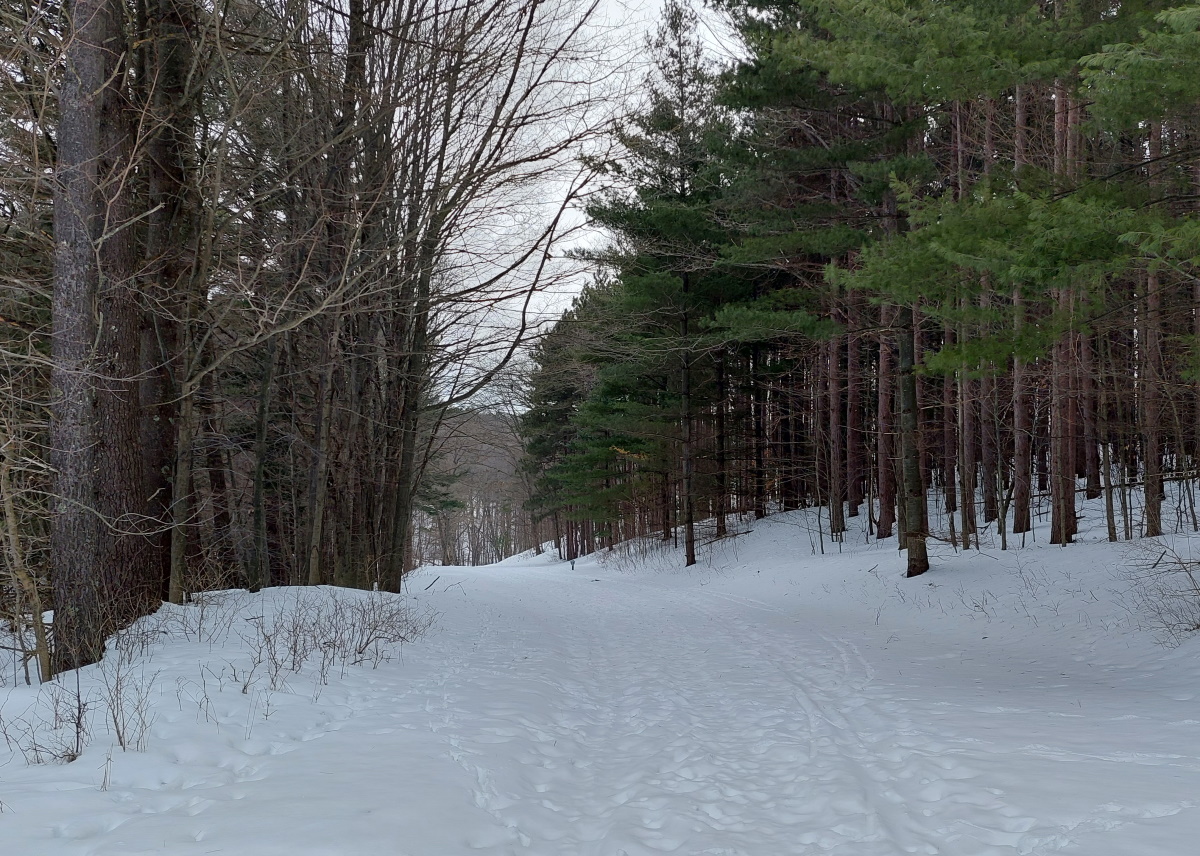
Before the bowl games of January 1st, I needed to get out and hike, and Alligator Hill in Glen Arbor won out as my first hike of the year. When I arrived, I was happy to see no footprints in the snow, so I was the first to climb these hills for 2024. I didn’t win a prize or anything, but I could count on having the place to myself.
When I entered the parking lot, I was greeted by these brick and concrete structures. These are kilns built in the 1950s by Pierce Stocking, the man the Sleeping Bear dunes drive is named after. Pierce was a lumberman and there was quite a bit of waste wood left over, and these kilns were used to produce charcoal.
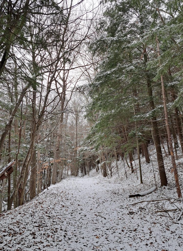
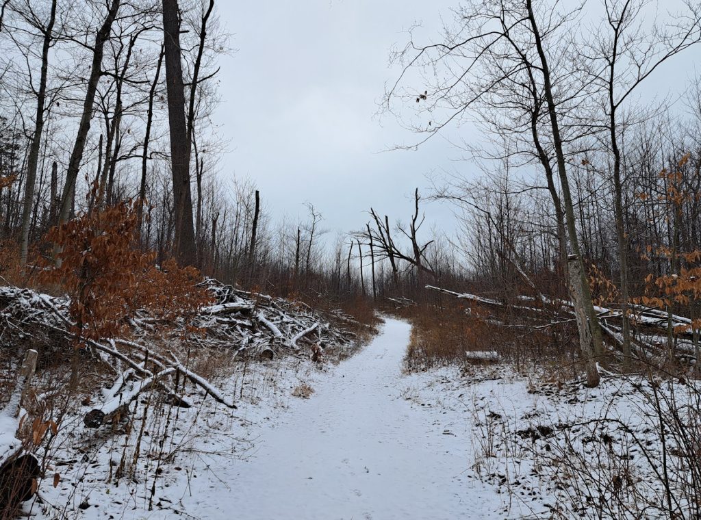
The trail soon gave me a choice, left or right. I chose right because in that direction led the advanced trail, a section of the trail I hadn’t yet hiked. I can’t claim it is any more hillier than the other trails – Alligator Hill has a lot of vertical changes – but it was stepper than most of the trail system. And it escaped most the damage of storm of eight years ago, so you will see many more tall trees.
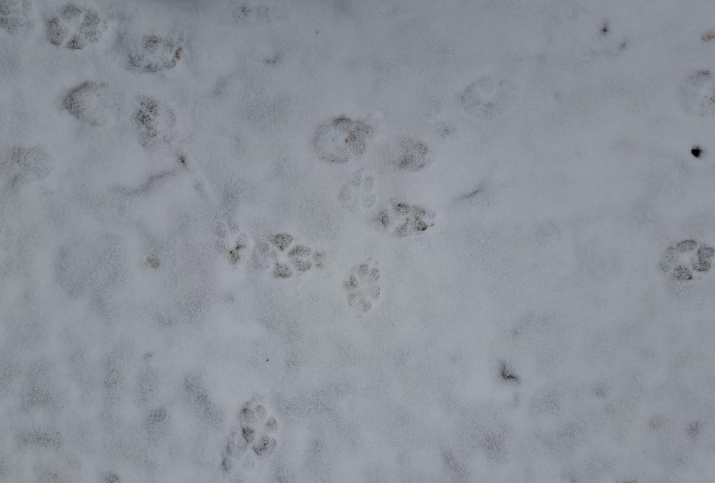
Along the way, I saw numerous animal tracks. Animal footprints are not a specialty of mine, but my best guess was a coyote. I suppose it could have been a lone dog, but I went with the coyote theory because there were no people tracks beside it.
Much of the trail still suffers from the damage of the August 2nd, 2015 windstorm that torn through the Glen Arbor area, downing many trees and damaging buildings. It will be decades before the damage is finally erased, hidden by new growth.
My first hike done, I spent the day rooting for teams that lost in the bowl games. Nothing new there. That didn’t mar the great hiking I had done earlier. And as I only hiked four miles of the 9-mile trail system, I have many more miles to look forward to.
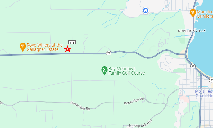
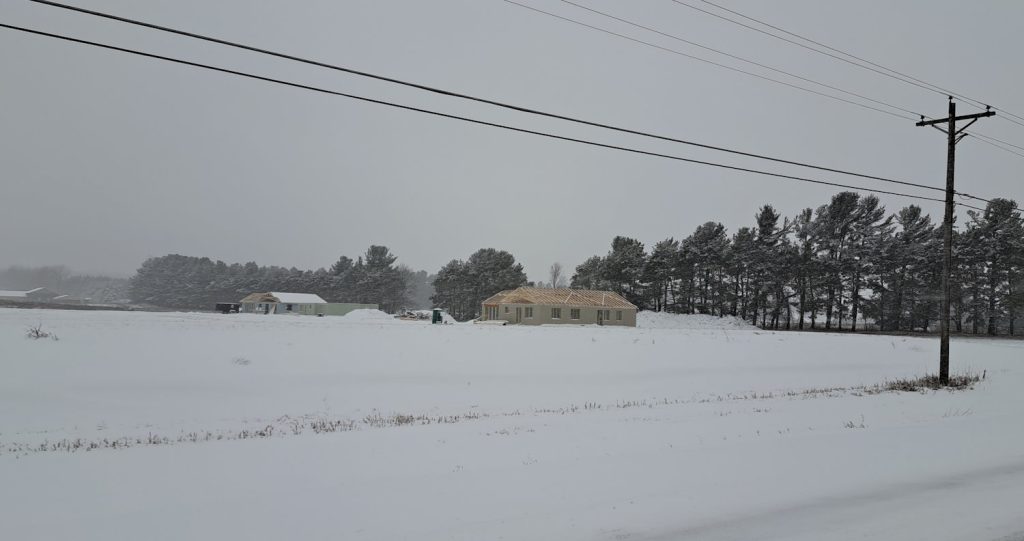
Shortly after we moved into our house in Leelanau County in 2021, news came that a new housing development was coming to the corner of M-72 and Bugai Road, a partnership between Habit for Humanity and New Waves United Church of Christ to provide affordable housing, something that is needed around here.
The roads to the subdivision were put in later that year, and then… nothing happened. For a long time.
But things are on the move! The first two houses have started going up and progress is being made.
That area has seen a lot of changes since we moved in. Edge 72, the apartment complex, was just an empty piece of unused field on the southwest corner when we arrived. And a non-functioning windmill was on the northeast side. And the solar panel array expanded quite a bit last year.
I’ve heard rumors of other changes to that area, such as a gas station on the south side of the road (in Grand Traverse County). But there is no doubt the metropolitan area of Traverse City is expanding west.
Those are a few of my favorite things, and I was able to do both on Tuesday. Despite a smokey evening because of the Canadian wildfires, it was time to get outside.
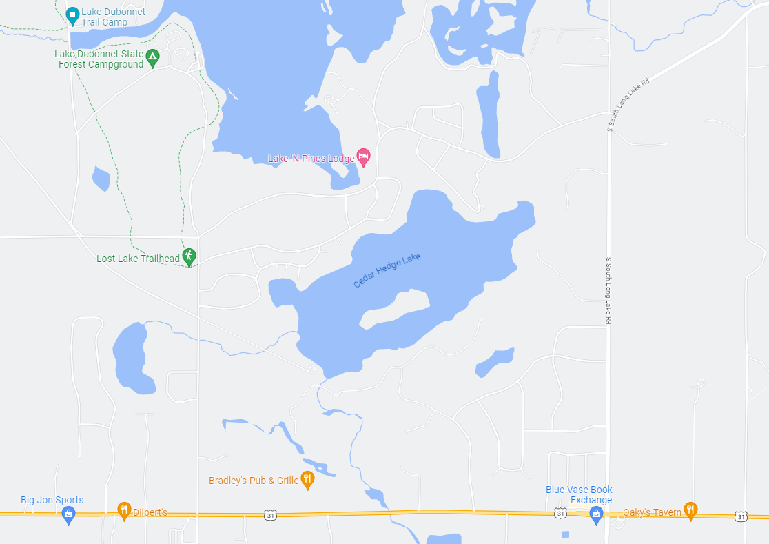
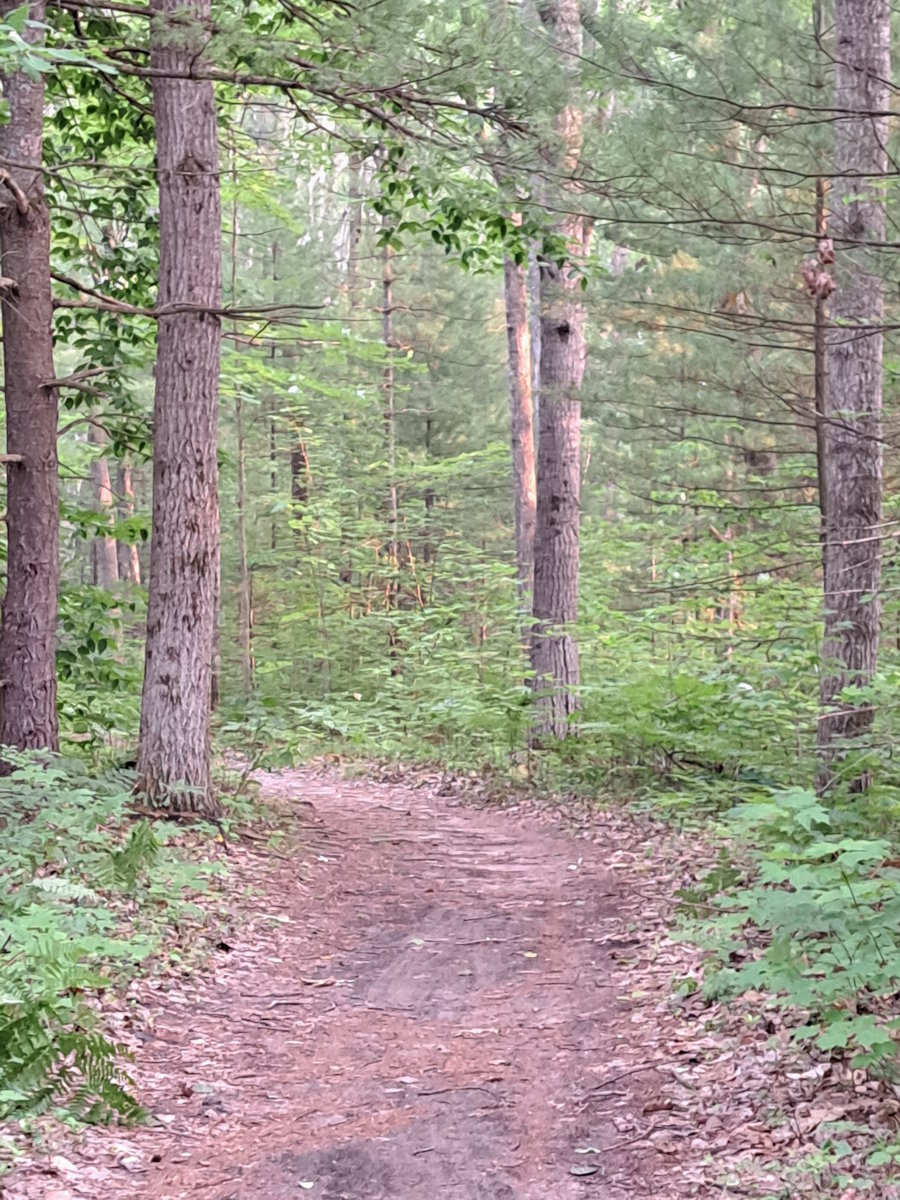
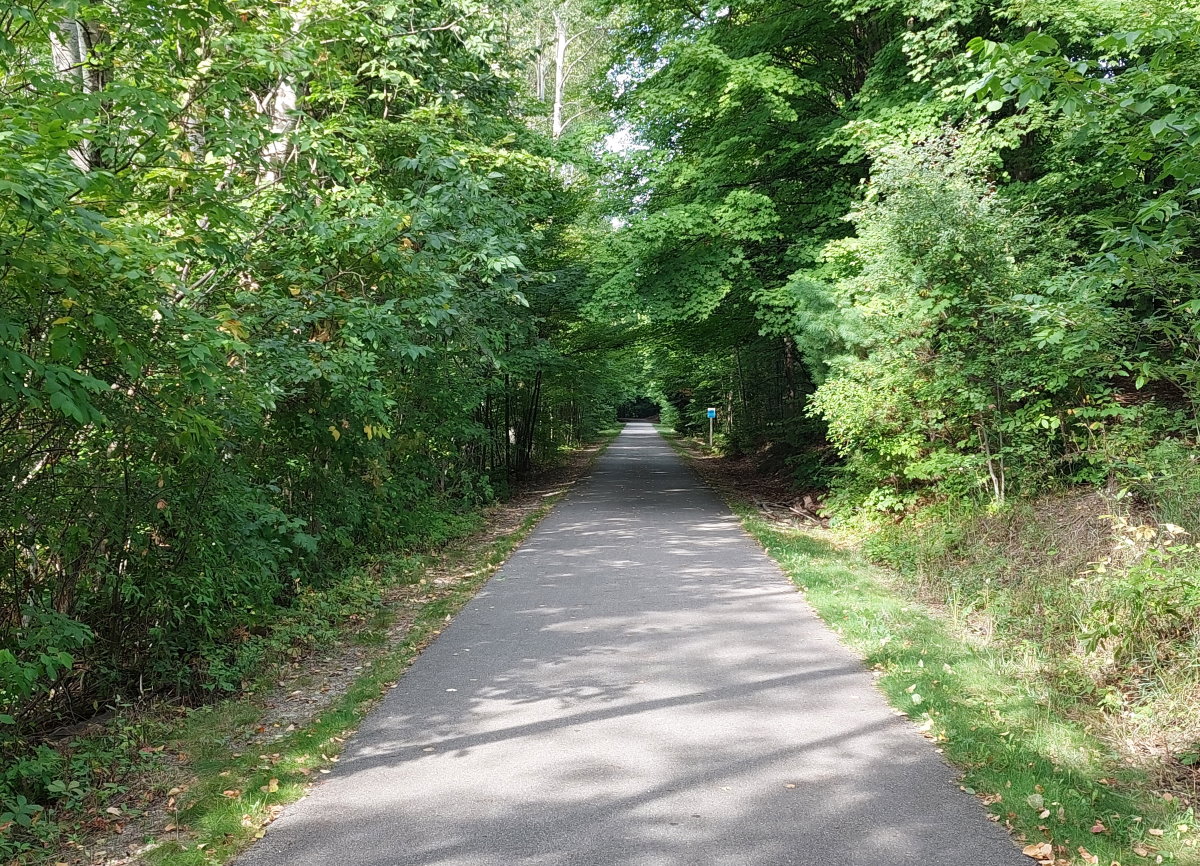
I visited the Lost Lake Pathway for the second time this year. From my house on the Leelanau Peninsula, there isn’t a straight and easy way to get there, having to come around Long Lake and passing through a neighborhood, but it’s worth it, especially this time of year. With the summer crowds having arrived in Traverse City, I spend more of my time heading north and west onto the peninsula than east into town or to the east bay.
Lost Lake has a very “Up North” feel. The trail is sandy and winds through a pine forest with plenty of ferns for ground cover. And it also felt like Up North because of the mosquitoes. They have been a mostly unfelt presence this year because of the lack of rain, but recent storms have apparently refilled the mosquito ponds, so they were out in force and looking for blood. Literally. So if you plan on spending time in the north woods, I recommend a head netting to keep the bugs away from your face.
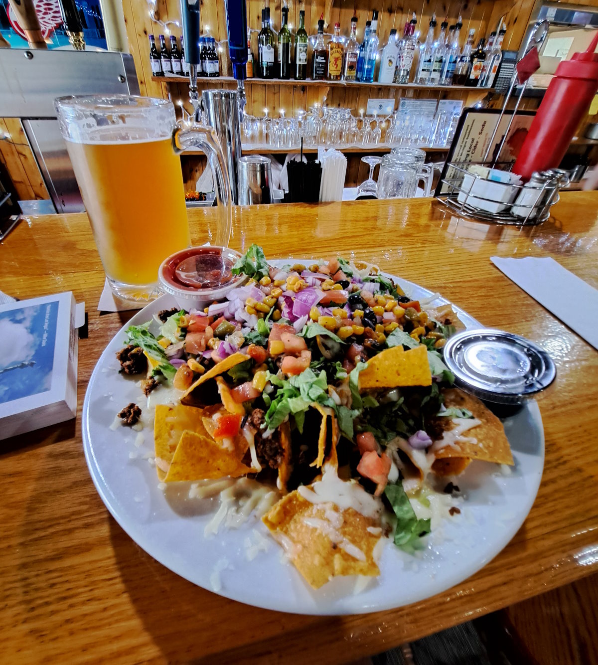
After the exercise portion of my night, it was time to replenish those burnt calories, so it was to Rico’s I went. This was my first time there and I was pleased with everything. The beef nachos were good and a nice amount of food. You can see my giant beer in the background, in this case a Summer Fling by Ludington Bay Brewing Co. I hadn’t tried this one before and it’s one I would have again. The people were nice and there were zero of the gaudy colorful flags you too often see around TC, especially in June, just a nice place for a meal.
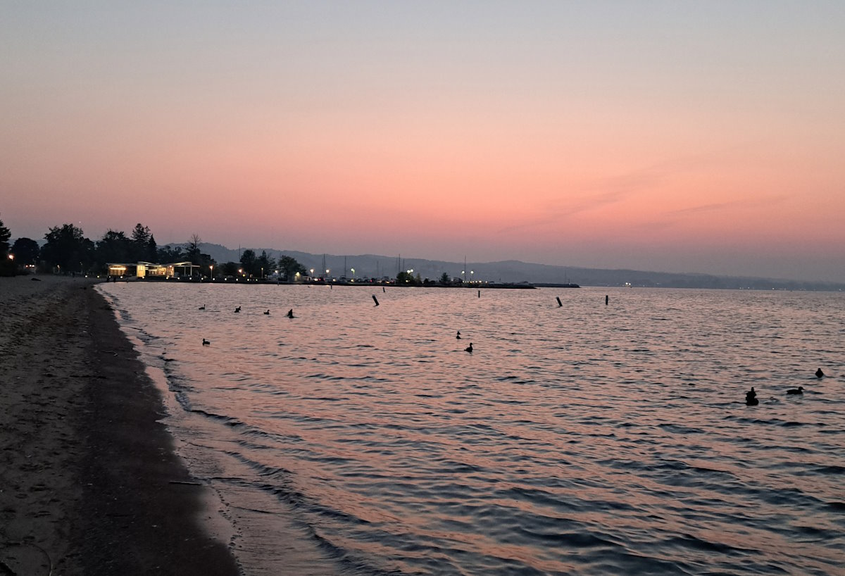
My evening ended with a beer at Fresh Coast Beer Works to visit my mug – I have not spent enough time with it recently – and a walk along the way to see the waning summer light over Leelanau. Not a bad day.
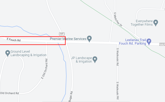
I planned a ride down Fouch Road west of Bugai, a nice ride with smooth pavement and rolling hills and nice scenery on the southern end of Lake Leelanau. Alas, it has recently been chip sealed and is no a no-go zone for cyclists. Perhaps in a year or so it will be an acceptable place to enjoy a bike ride again, but not for the rest of this year.
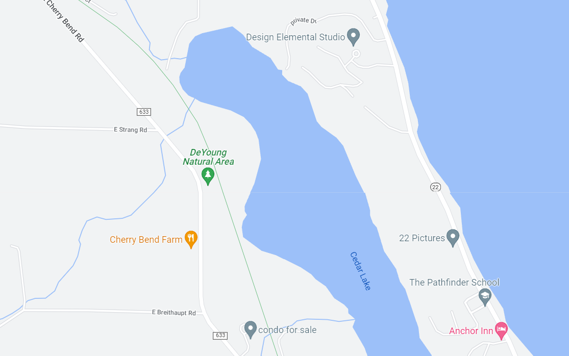
Moving here almost two years ago, I knew there were many trails and I had years of exploring ahead. However, I also knew that though there were dozens of trail systems, I would eventually see them all, so I limit the number of new trails I hike a year to keep the magic alive. That explains why this week was the first time I visited the hiking trails at the DeYoung parking area off of Cherry Bend Road.
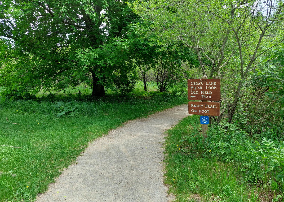
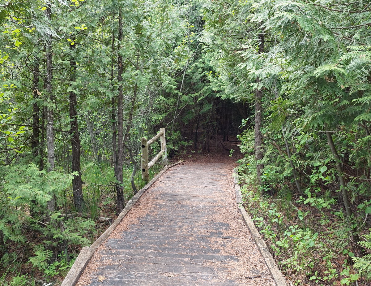
There are two sets of hiking trails near DeYoung. The first is on East Strang Road, and that is the longer trail system of which I have visited often. The trail I am referring to is across from the DeYoung parking area for the Leelanau Trail, the one with the barn. Right across the path from the parking lot to the paved trail is the non-paved trail leading to the Cedar Lake and Old Field Trail paths.
The first part of the trail is crushed gravel that winds back to the fishing pier on Cedar Lake. This part of the trail is quite short, but you can enjoy Cedar Lake in all it’s splendor. We will assume that lake got its name from all the cedar trees.
There are a few spots with wooden walkways, but most of the trail is on good old dirt. If you are hiking during mosquito season, you’ll have plenty of little friends on your hike – the area surrounding the trail is pretty damp. But keep moving and you’ll be mostly fine. Don’t itch those !
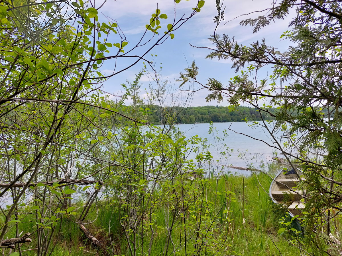
You will even get peeks at Cedar Lake through the cedars. And somebody’s canoes.
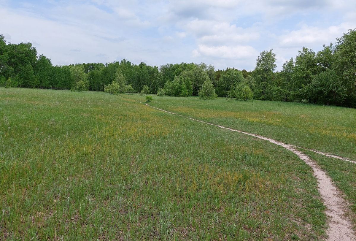
Part two is the Old Field Trail which passes through a meadow squeezed between the Leelanau Trail and Cedar Lake. Plenty of sun, few bugs.
If you have missed this trail system, I can understand – even though I’m at the DeYoung parking area a couple times a week, I usually completely forget about it until I actually see the trail. Though it’s not an all-day hike (or a half day or a quarter day…), it is a there for a quick stroll through nature.
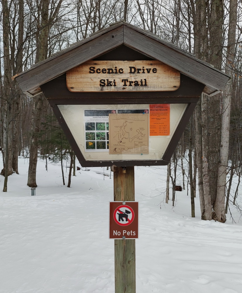
The Pierce Stocking Scenic Drive brings hundreds of thousands of visitors during the warmer months, but is silent during the winter ones. Though it may be closed to road traffic when the snow flies, it stays open to foot traffic, whether those feet are on skis, snowshoes or in your plain old boots.
When pulling into the drive, the main gate is closed, but to the right is a parking area where the trailhead for your Sleeping Bear winter adventure begins.
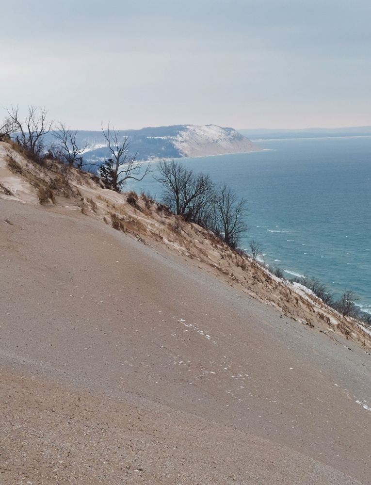
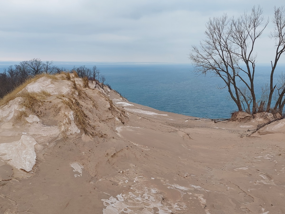
You have options, but for me, the only goal was to reach the Lake Michigan lookout. And that required going up. A lot. On my visit, I had the entire park to myself. Though I dressed warmly, you don’t need to go overboard. That uphill hiking is really going to work up a sweat and warm up your body. The whole road was mine, and I followed the snowshoers who had visited before me and broken a path. Thank you for making my trip easier.
After a difficult climb (this was my first snowshoe trip of the year), I reached the scenic overlook. I had visited this spot with friends in the summer when the dunes were swarming with visitors and parking spots were hard to find. No such problems this time. I had the incredible views all to myself.
I enjoyed the scenery, but not as long as I would have liked. The winds from the lake were brutal, and that body warmth I generated on the way up was quickly sapped away.
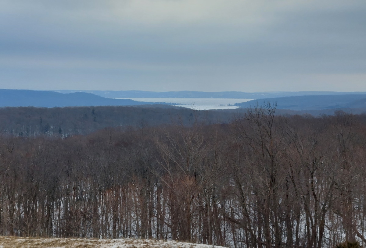
I climbed just a bit higher and turned inland to get a look at Big Glen Lake and Little Glen Lake.
Snowshoeing the Pierce Stocking drive is well-worth the effort. Amazing views and excellent workout in a beautiful part of the state make this a trip well-worth your time.
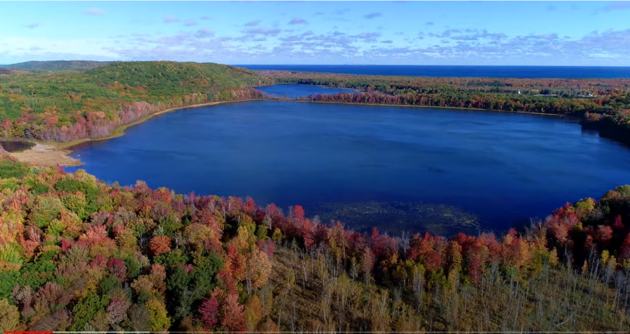
Check out the new video on YouTube by The Accidentals. Great song and beautiful videos of the Leelanau Peninsula. Here is a screen shot of the many great scenes you can see:
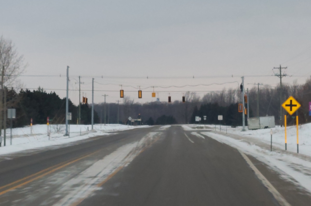
Our days of getting from Traverse City to Empire without stopping are coming to an end. A new light at the intersection of M-72 and Cedar is creeping every closer:
Currently, traveling between TC and Empire, there are no lights are stop signs on M-72 until you reach either side of the peninsula. This is apparently a problem, and one that only a completely unnecessary light can solve. Some lights are a good things, but most aren’t, and this one especially is not. Visibility is great here, there isn’t much traffic at all, and any crash that would occur is clearly someone’s fault. I suppose the state has extra money and wanted to make our lives worse. They are good at that.