Adventures around Traverse City

Category: Trails (Page 1 of 4)

Fields of Ferns

Ferns are one of those things I think of when I think of “Up North”. Sandy trails running through pine forests that end at fields of wildflowers and ferns – that is an ideal trail. My quiet morning walk at South Long Lake Nature Area was a wonderful way to start the weekend. The paths were empty and the day was cool and the late summer flora was a rich green. All too soon this will be covered with white, so I am enjoying this beautiful mornings before they hide for another year.

Field of Ferns

A Suttons Bay Ride

Sunday was National Ride to Suttons Bay. I’m 99.9% sure I made that up, but there is that chance that there is actually such a thing.  I actually didn’t stop in Suttons Bay as I usually do but kept on going north a few miles north of town. The Leelanau Trail continues for about 1.5 miles past town and makes an undramatic end at Dumas Road. I kept on heading north on M-22 and decided to stop after getting halfway to the North Pole.

45th Parallel

Sunday was also the day of the Cherry Festival air show. The best views were from bay, but we could see the Thunderbirds doing their routine from our house.

USAF Thunderbirds

Down at the bay, the barge is ready for the 4th of July fireworks show.

Fireworks barge

Hiking and Nachos

Those are a few of my favorite things, and I was able to do both on Tuesday. Despite a smokey evening because of the Canadian wildfires, it was time to get outside.

I visited the Lost Lake Pathway for the second time this year. From my house on the Leelanau Peninsula, there isn’t a straight and easy way to get there, having to come around Long Lake and passing through a neighborhood, but it’s worth it, especially this time of year. With the summer crowds having arrived in Traverse City, I spend more of my time heading north and west onto the peninsula than east into town or to the east bay.

Lost Lake Pathways map

Lost Lake has a very “Up North” feel. The trail is sandy and winds through a pine forest with plenty of ferns for ground cover. And it also felt like Up North because of the mosquitoes. They have been a mostly unfelt presence this year because of the lack of rain, but recent storms have apparently refilled the mosquito ponds, so they were out in force and looking for blood. Literally. So if you plan on spending time in the north woods, I recommend a head netting to keep the bugs away from your face.

Lost Lake trail

After the exercise portion of my night, it was time to replenish those burnt calories, so it was to Rico’s I went. This was my first time there and I was pleased with everything. The beef nachos were good and a nice amount of food. You can see my giant beer in the background, in this case a Summer Fling by Ludington Bay Brewing Co. I hadn’t tried this one before and it’s one I would have again. The people were nice and there were zero of the gaudy colorful flags you too often see around TC, especially in June, just a nice place for a meal.

Nachos at Rico's

My evening ended with a beer at Fresh Coast Beer Works to visit my mug – I have not spent enough time with it recently – and a walk along the way to see the waning summer light over Leelanau. Not a bad day.

Sunset over Leelanau

Peeper time

While it’s not the same as Christmas, I love Peeper Time, those early spring nights when the frogs come out and sing their love song to one another. At the pond behind my house, there is usually one early riser who spends many lonely nights peeping away before his late-sleeping friends join him. So he’s like that guy that shows up at the club at 7:00 when things don’t really start until 10:00. He’s a frog version of me.

Pond

Over at Mitchell State Park in Cadillac, though, things are in full swing. It’s a perfect Peeper habitat and the frogs were not shy. The raised trails wind their way through waterways full of little hiding places for the thousands of froggy residents.

Mitchell State Park, Cadillac

Even the snakes were enjoying the warm weather.

Sunning snake

Peeper time doesn’t last long, only a month or so. Make sure you find those marshy areas that the frogs enjoy before they become silent for another year.

Hickory Hills trail repair

The trails at Hickory Meadows are getting some TLC:

Hickory Hills repairs

Thee were spreading some gravel on the muddier sections of the trail near the eastern part of the park. That should mean less slipping and slider in these, the wetter, muddier months of the year.

New gravel

Remember, though – it is still frowned upon if you walk at Hickory Meadows without a dog.

A Quiet Morning at Good Harbor

A lot of people head south for Spring Break. But why? Leelanau County has many beautiful beaches to choose from, such as Good Harbor:

Good Harbor beach

Yes, perhaps the 40-degree temperature of last weekend was not quite what you would like, but there is plenty of space to lay out your blanket, and the views are incredible. And the peace and quiet – priceless.

As an added bonus, Good Harbor also has hiking trails nearby. It has been a little windy as of late, and several trees didn’t make it through, but you can practice your Limbo ability. Or just walk around – whatever you feel like:

Good Harbor trails

Again, if peace and quiet is your thing, these trails are calling. Even in the summer they are not too busy. Just remember to bring your Sleeping Bear pass – this is part of the national lakeshore.

Sleeping Bear trails

With the recent news of the possible addition of over 500 more acres to the Brown Bridge Quiet Area, I got to thinking about all the new trails that such a large addition could make. I have a yearly list of “new to me” trails, and I still have many more trails to explore since moving here less than three years ago. But enough about new trails, this post is about the existing trails at BBQA.

My favorite time of year to hike the BBQA and the Boardman Valley Trail is autumn. The views from the bluffs are amazing. But any time of year is a good time to hike this area south of Traverse City just north of Kingsley.

Sunshine through trees

The problem with winter hiking is ice. Unless you’re out after a fresh snow, the melt-freeze cycle often leads to slippery walks. Mine started at the Brown Bridge Road parking lot south of the river where I headed east into the woods. Narrow, uneven trails required careful steps to avoid a downhill tumble, but I’m happy to report that no hikers were harmed during this walk.

The trail turned north and then west and crossed the Boardman River. The remaining trail followed the river as it wound its way downstream, mostly exposed to open sky. That sunshine also meant better footing as I returned to my car. 

Bridge over the Boardman

Brown Bridge / Boardman Valley Trail is a popular trail, though not as busy as the trails closer to town such as Pelizzari and The Commons. It is worth the drive out of town to enjoy the views.

Brown Bridge Quiet Area

A New Year’s Day Hike at Maplehurst

Happy New Year! I hope your celebration involved lots of fun whether or not it involved champagne. For you playing at home, mine did. And wine at Bluestone and Rove. And cocktails at Mammoth. It was a fun evening.

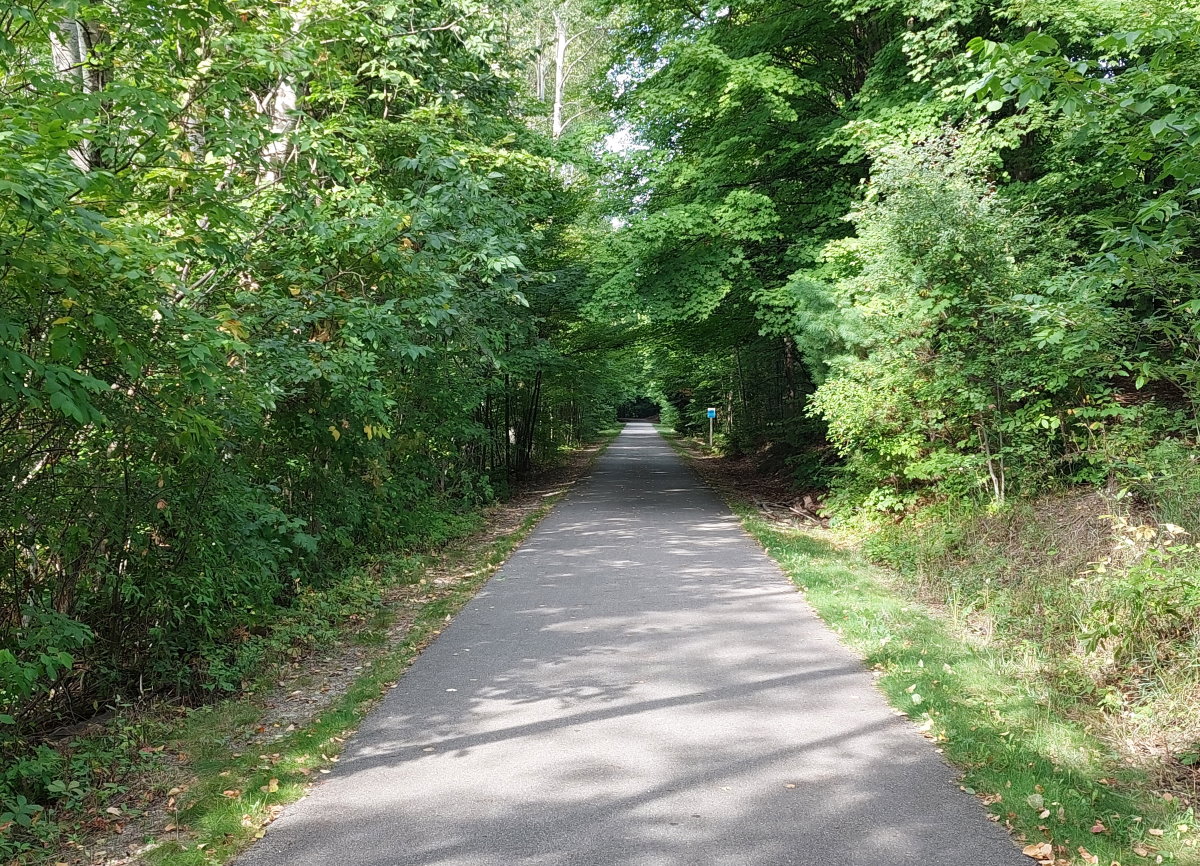
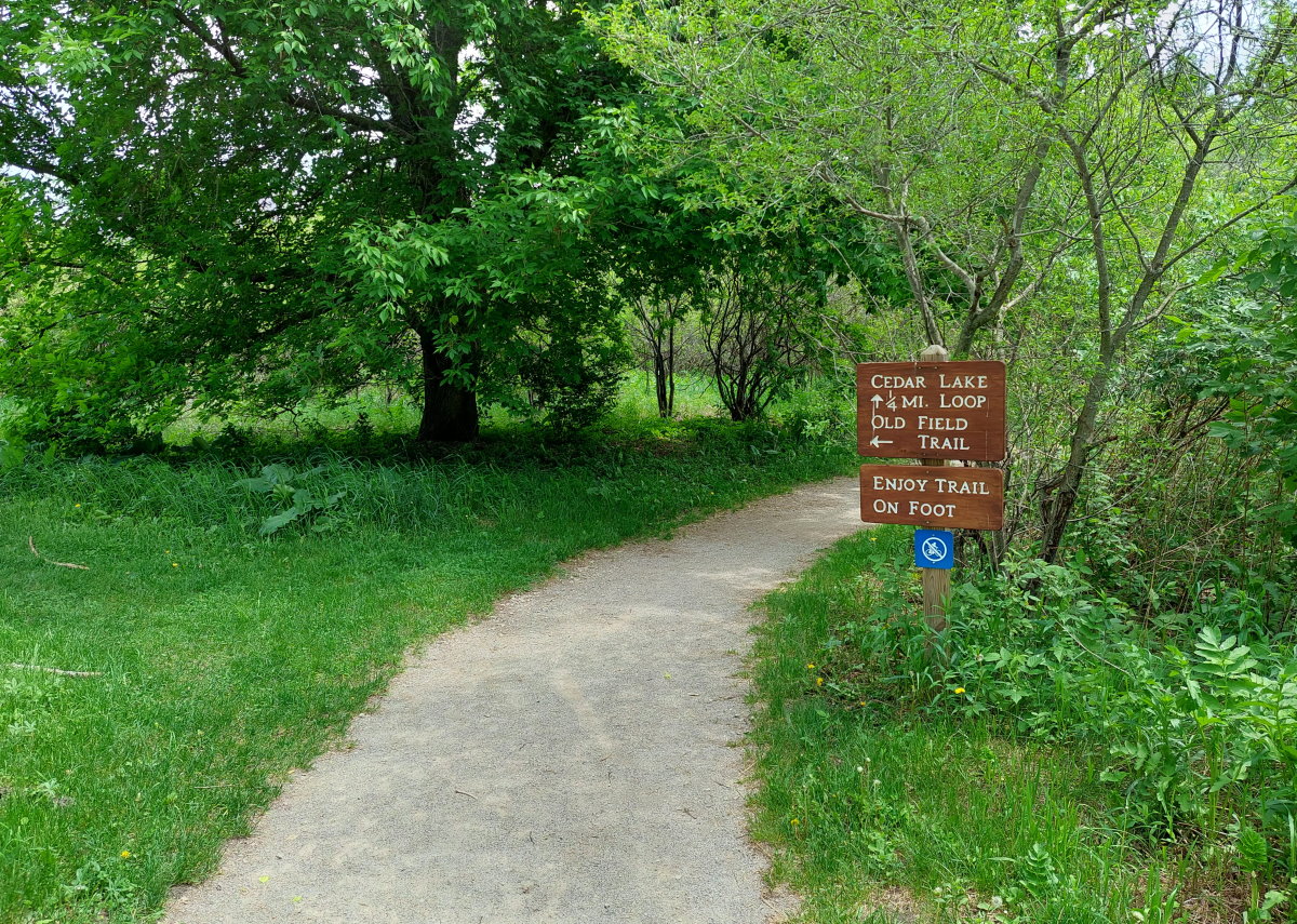
I like to hit the trails on New Year’s Day. We had company – and the day was a gray, drizzly mess – so I didn’t go for too long of a walk, but did have a shorter on at the Lake Ann Pathway. But as my office was closed to observe the holiday on the 2nd – well, a day late is better than nothing. And the day was gray and drizzly, just gray.

My day started quite well. It only took 15 minutes to get from my West Bay home to Acme which is almost unheard of – apparently, I wasn’t the only one with the day off.  I continued my way up through Elk Rapids to Maplehurst. This trail has a special place in my heart, becoming a favorite when we spent our first five months in the Traverse City area on the East Bay and on Eighth Street.  It’s a bit of a drive now from my Leelanau Peninsula house, but if I have the time, I do like to make the trip. The land was a summer camp for over 50 years before closing in 2011 and later being purchased and used as a park.

Maplehurst trail

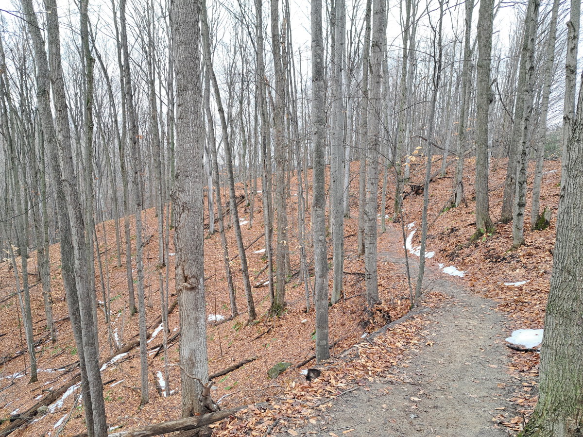
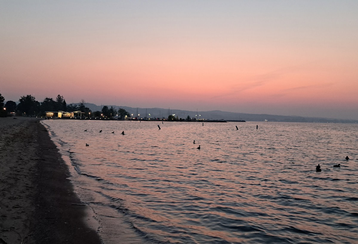
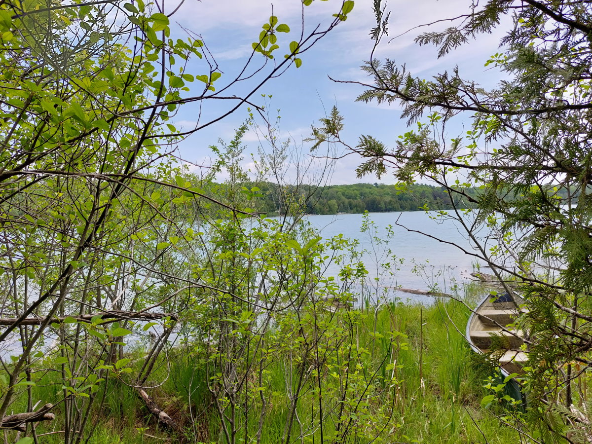
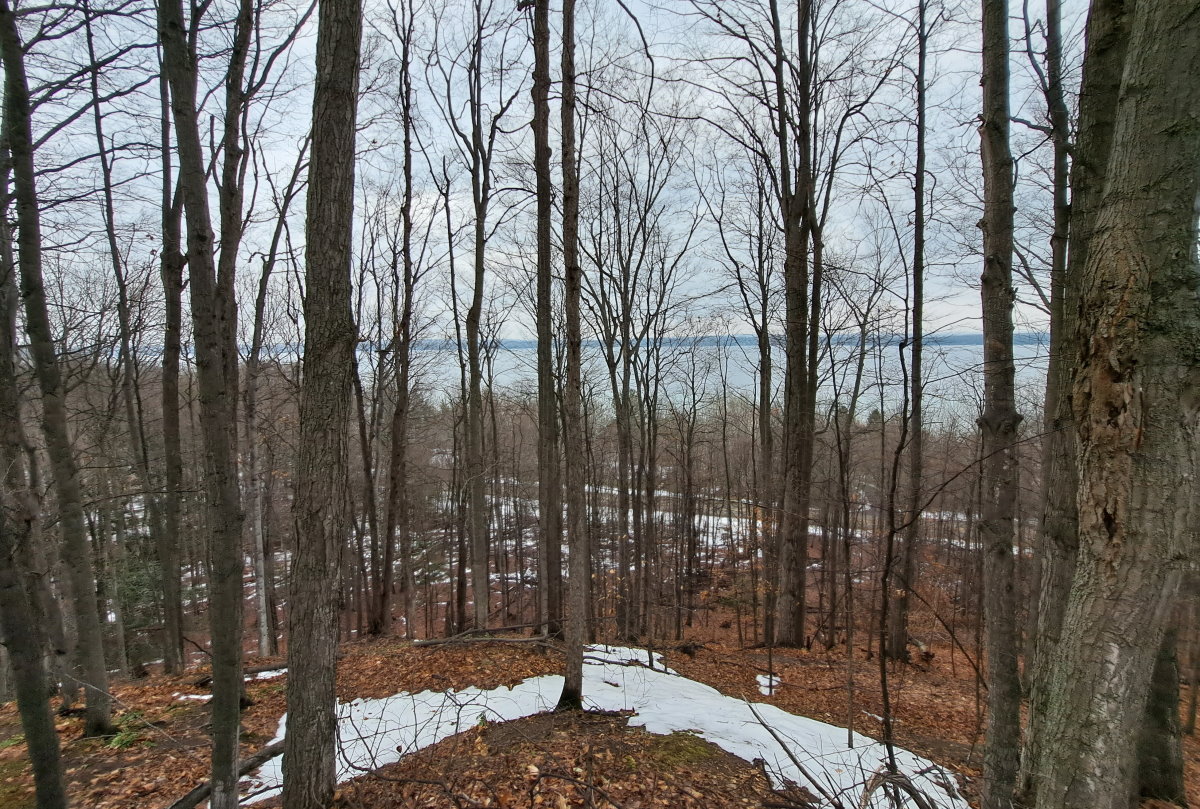
The trails were nearly empty which makes me happy – I was walking an hour before I finally saw anyone else. The big snows of a week ago (those two feet just before Christmas) were nearly gone, though the parts of the trail were a slippery mess because of all the mud. But the views of Torch Lake were still nice.

Torch Lake

My hour-and-a-half walk concluded, I stopped by the roadside cairn on Cairn Highway, a most-appropriately named road. The cairn is made from stones from each of Michigan’s 82 counties and sits on the 45th parallel.

Cairn

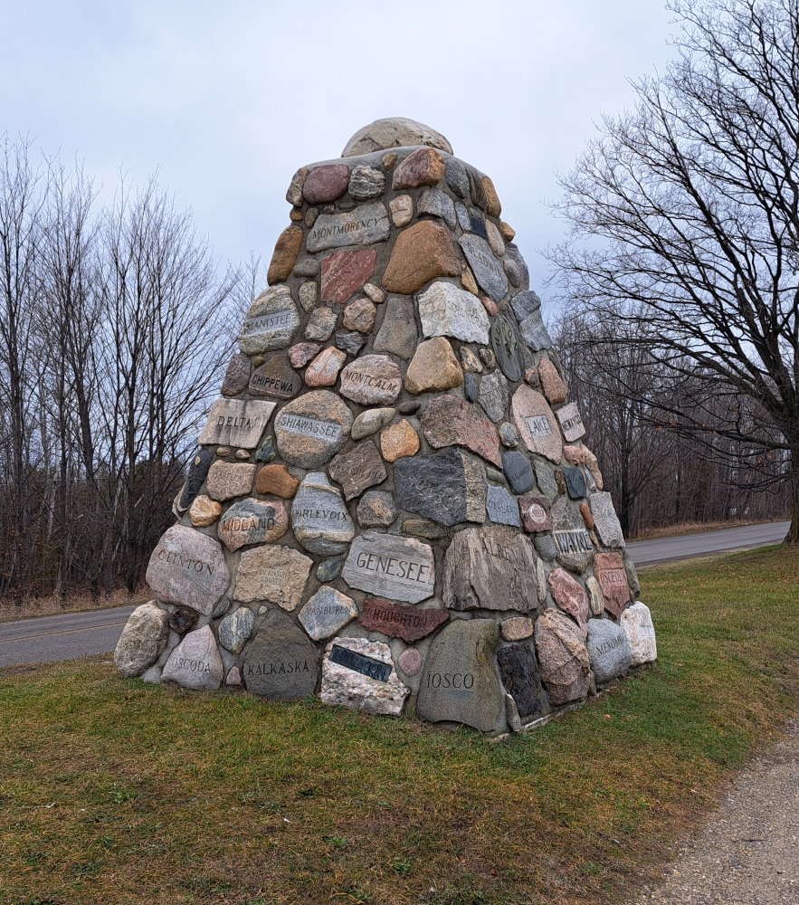
And I took pictures of the two counties I have lived, just for fun – my current one, Leelanau, and the one I lived in while in Haslett, Clinton County.

Clinton County rock

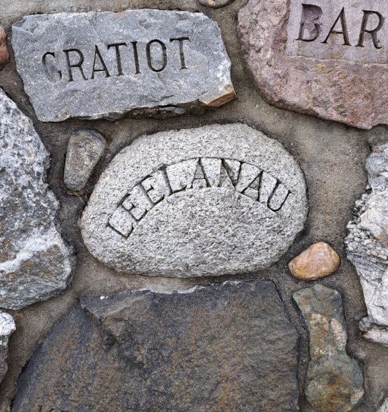
Leelanau County means “Land of Delight”. Well, it actually doesn’t. Henry Schoolcraft, who was responsible for many of the county names in Michigan, like the sound of the word and named a county after it.

Clinton County rock

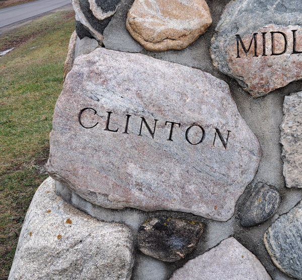
Clinton County is named after DeWitt Clinton, the seventh governor of New York, and a presidential candidate. And we have a county in Michigan named after him. Go figure.

You know what places don’t have a lot of people during the winter? Beaches. They are nice places to walk, and just north of Elk Rapids is Old Bathing Beach. No, seriously – it is on Google Maps. As it was on US-31 on my way home, I stopped for a walk on the partially frozen beach for a nice view of Old Mission across the bay.

Old Mission

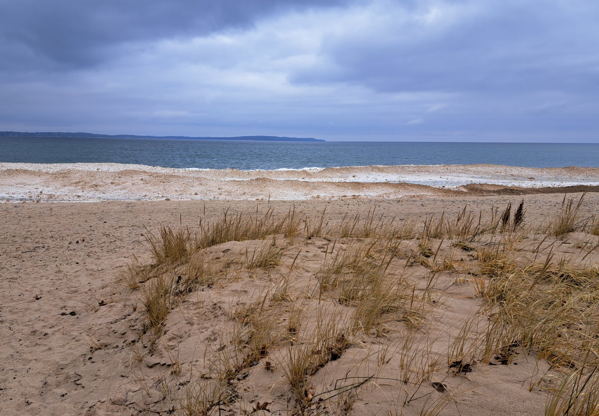
And there were these neat little ice balls floating between the beach and the frozen swells of the bay.

Ice balls

It was a good start to the year, and I hope I get the opportunity to go on many more.

There lurks a bear

You never know what you’ll see out on the Leelanau Trail. At any time, you could encounter a dangerous animal lurking just off the path.

Bear Trail

If you can make it past the bear, a beautiful ride awaits. Take advantage of it now because summer in on the decline.

Leelanau Trail

DeYoung Trails Jr.

Moving here almost two years ago, I knew there were many trails and I had years of exploring ahead. However, I also knew that though there were dozens of trail systems, I would eventually see them all, so I limit the number of new trails I hike a year to keep the magic alive. That explains why this week was the first time I visited the hiking trails at the DeYoung parking area off of Cherry Bend Road.

Map to trails

There are two sets of hiking trails near DeYoung. The first is on East Strang Road, and that is the longer trail system of which I have visited often. The trail I am referring to is across from the DeYoung parking area for the Leelanau Trail, the one with the barn. Right across the path from the parking lot to the paved trail is the non-paved trail leading to the Cedar Lake and Old Field Trail paths.

DeYoung Trail

The first part of the trail is crushed gravel that winds back to the fishing pier on Cedar Lake. This part of the trail is quite short, but you can enjoy Cedar Lake in all it’s splendor.  We will assume that lake got its name from all the cedar trees.

DeYoung Trail

There are a few spots with wooden walkways, but most of the trail is on good old dirt. If you are hiking during mosquito season, you’ll have plenty of little friends on your hike – the area surrounding the trail is pretty damp. But keep moving and you’ll be mostly fine. Don’t itch those !

You will even get peeks at Cedar Lake through the cedars. And somebody’s canoes.

Cedar Lake

Part two is the Old Field Trail which passes through a meadow squeezed between the Leelanau Trail and Cedar Lake. Plenty of sun, few bugs.

Old Field Trail

If you have missed this trail system, I can understand – even though I’m at the DeYoung parking area a couple times a week, I usually completely forget about it until I actually see the trail. Though it’s not an all-day hike (or a half day or a quarter day…), it is a there for a quick stroll through nature.

« Older posts

© 2024 Up North Scott

Theme by Anders NorenUp ↑